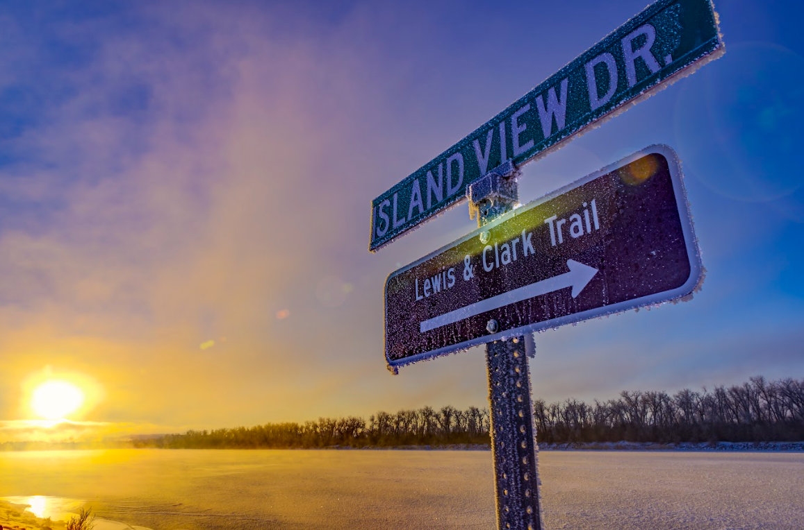
Lewis & Clark Trail
Lewis & Clark Trail
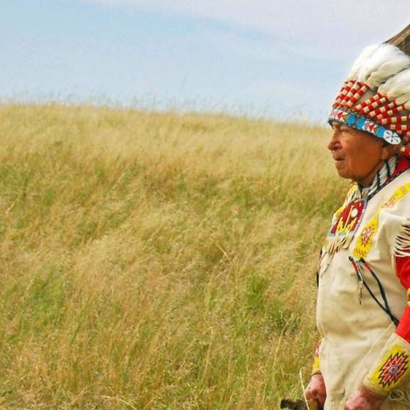
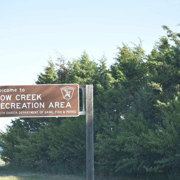
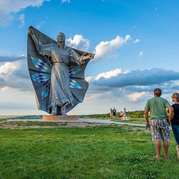
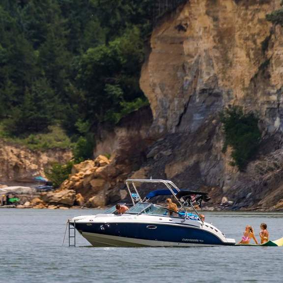
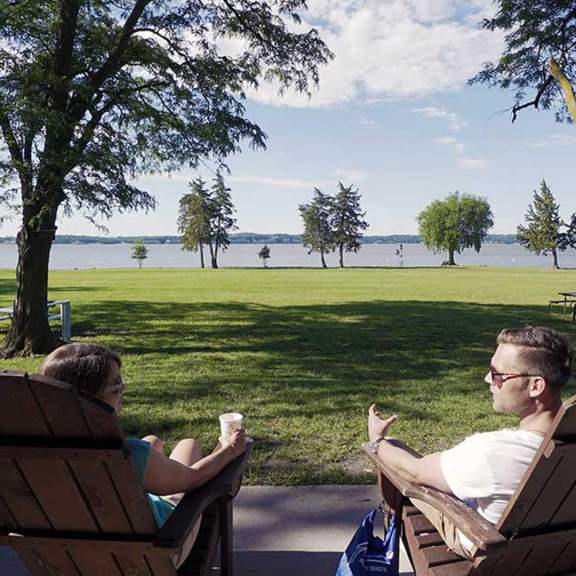
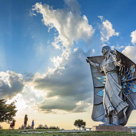
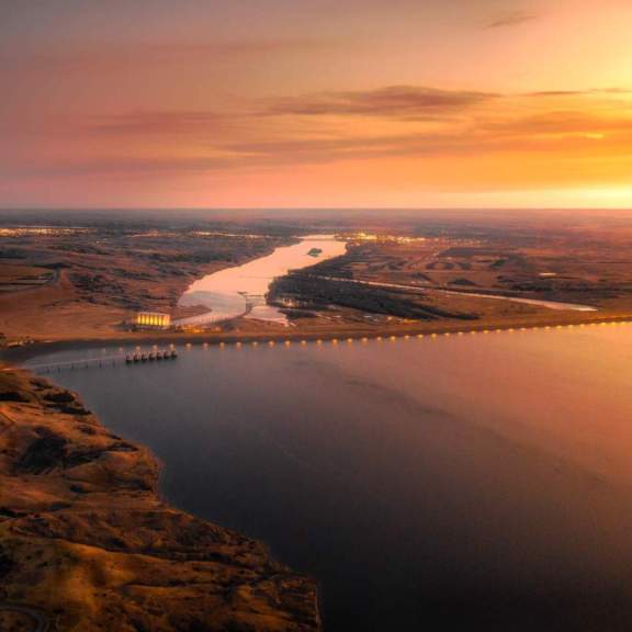
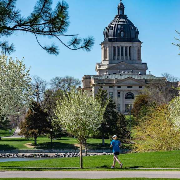
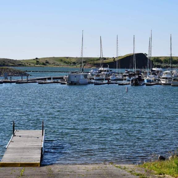
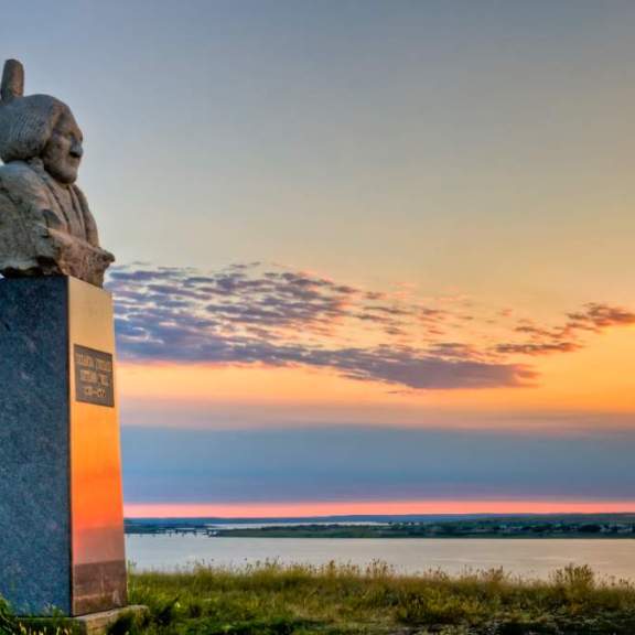
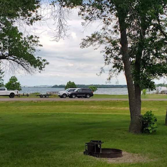
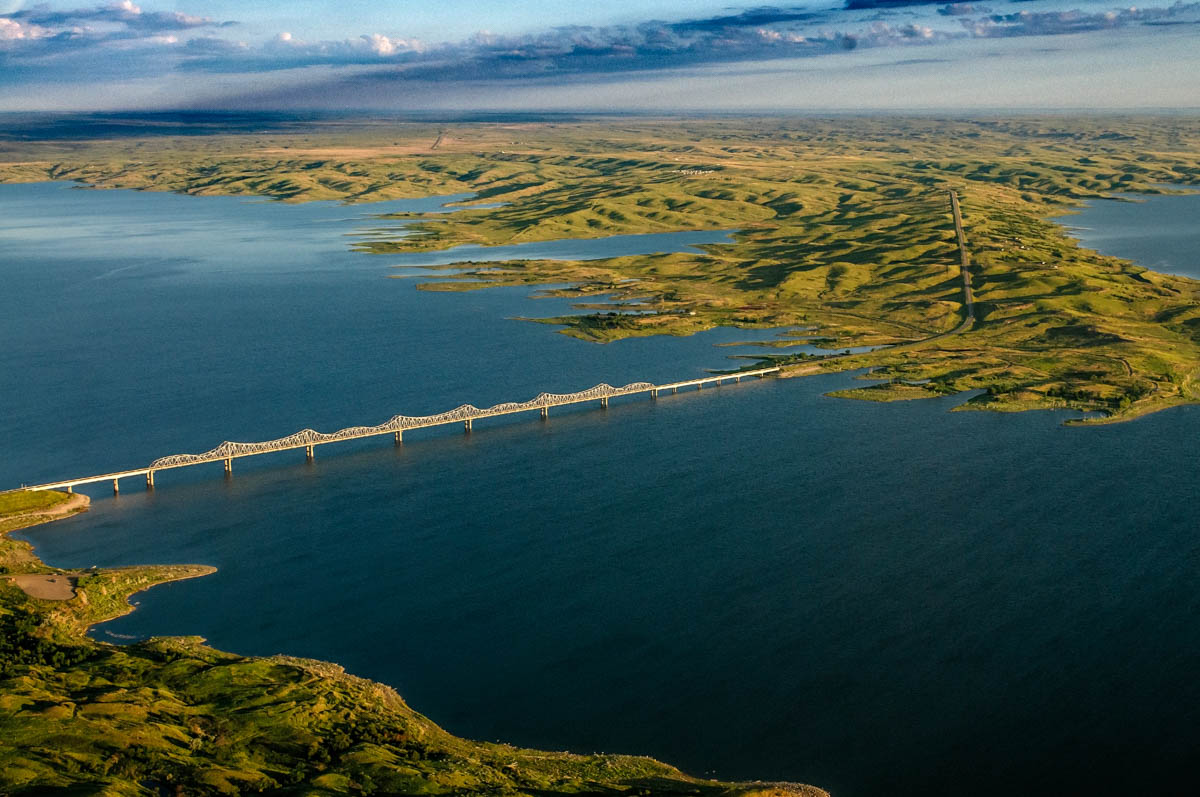
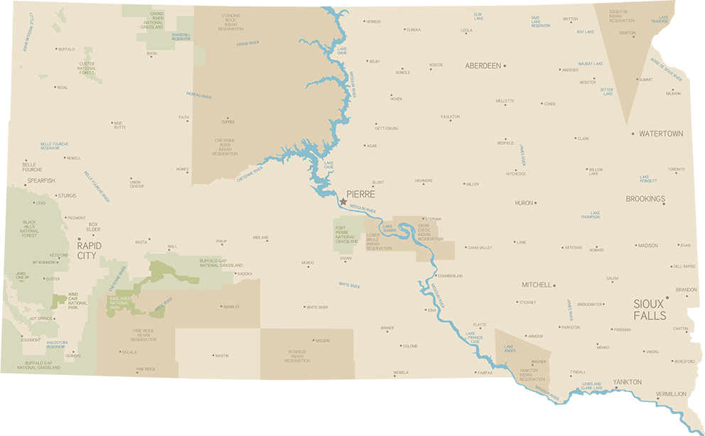
Lewis and Clark's exploratory journey across the country that used the Missouri River to traverse most of the great plains spanned from 1804 & 1806: the highways numerated after these years follow this historic route. The Lewis & Clark Trail, a combination of highway, biking and hiking pathways, conincides with much of the Native American Scenic Byway. The bike route and walking paths can be found in towns situated next to the river, along with historic markers of significant places where the explorers made certain discoveries or had first contact with native tribes. See the Bad River in Fort Pierre from the Bad River Bridge; visit Calument Bluff hike its trail right next to Gavins Point Dam near Yankton, and Spirit Mound State Historic Prairie just north of Vermillion. For an amzing view, find the Big Bend in the Missouri River, the largest naturally occourring horseshoe bend in any river system in the United States. Overlooks can be found at West Bend Recreation Area and along 1806 on the west side of the river. The Narrows Receation Area is the this strip of land forming the middle of the bend. It is on tribal land and requires an access permit from the Lower Brule Sioux Tribe Department of Wildlife, Fish & Recreation.Highways 1804 & 1806